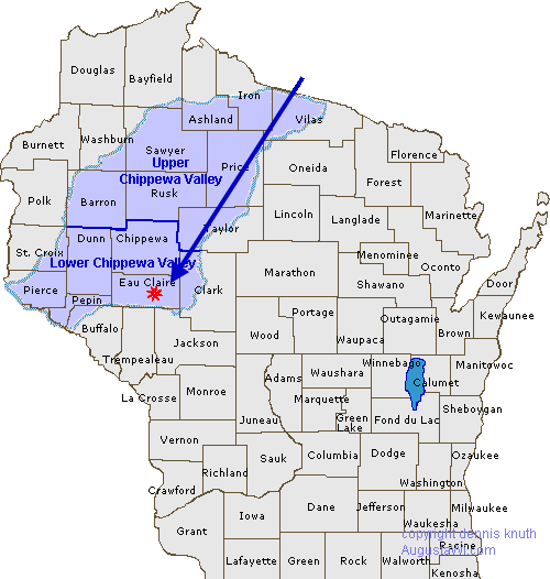
Map of the the Chippewa Valley
Augusta Wisconsin is located in the beautiful Chippewa Valley in north central Wisconsin
Where is the Chippewa Valley? Chippewa Valley on the Wisconsin State Map
The Map of Counties in Wisconsin and the Map of the Chippewa River Valley. Right click on the image to see it full size
The Chippewa Valley is located in north western Wisconsin. The River and all of its tributaries run into the Mississippi just north of Alma Wisconsin. Come visit us in Augusta Wisconsin. See the Counties in Wisconsin. We are also part of the Indian Head
| The older, smaller image version of the Chippewa River Valley on the Wisconsin State Map can be seen here. Augusta Wisconsin is also part of the Indian Head County. You can find out why it is called the Indian Head on the about page or seen on a map of the Indian Head on the Indian Head Country site |
 |
")
Augusta Wisconsin Map of the Chippewa Valley
The Beautiful Chippewa Valley in Central North Western Wisconsin. Wisconsin county locations too. Visit the Lower Chippewa Valley to see the variety of recreations available. Augusta Wisconsin is in Eau Claire County and the in the Town of Bridge Creek (Town of BridgeCreek). Visit the maps home page to see directions. See our About Augusta for more tidbits about Augusta Wisconsin
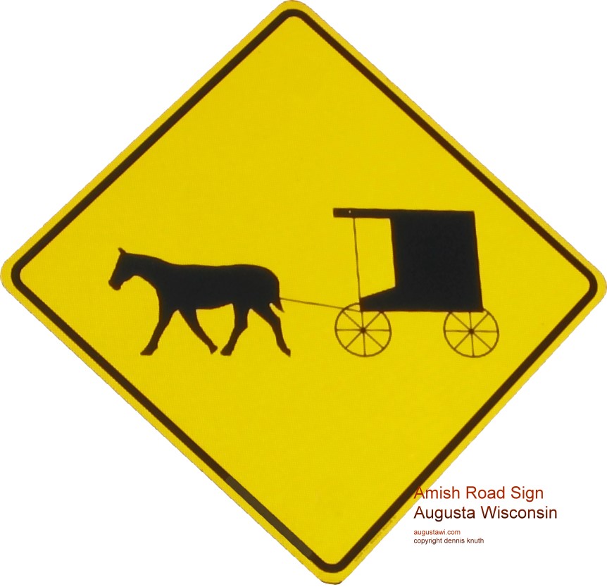 |
Amish Buggies and modern automobiles share our country roads. Please drive especially carefully when mounting hills and rounding corners on our country roads, there may be an Amish buggy just out of site. |
The Lower Chippewa Valley region in Wisconsin is more populated and more suited for dairy farming, orchards and the like. It is peppered with deciduous forests, hills, valleys and scenic country roads

